Low Clearances Not Listed In Rand McNally - WTH?
Topic 26292 | Page 1
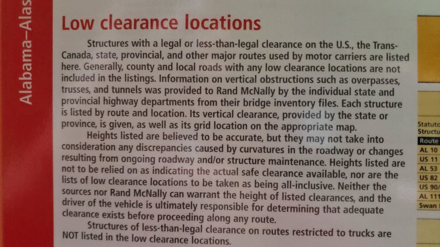
It doesn't show every single low clearance bridge in the country. It shows the ones on legal truck routes.
OK...
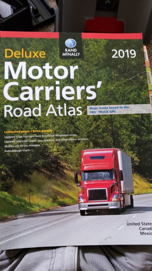
So I dragged out my 2019 laminated Rand McNally Motor Carriers Atlas and finally got back into it.
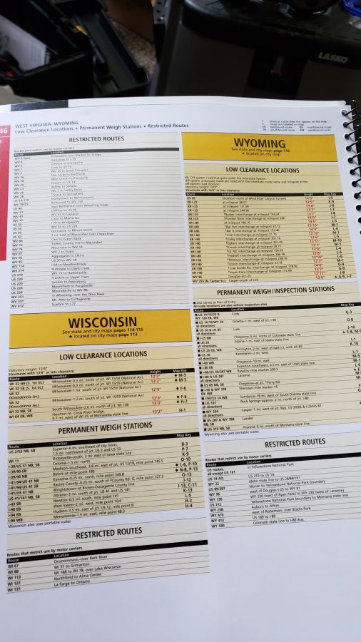
I was surprised to not see a city view of Kenosha, but perhaps it's too small. Looked at Low Clearances and only seeing Milwaukee.
(I think I will move my motorhome to a storage location right off I-94 - actually too close to construction, but just minutes from the Schneider drop lot). I was considering others closer to current residence but that may go away soon... Anyway...
There are a couple of routes to home which have low RR bridges which I am not seeing in the Atlas. Actually only know of one CMV-compatible route to here, because I live in and drive around the area.
Am I missing something or are there major limitations when it comes to this stuff? If so, what other resources (besides CMV GPS) are available?
Thanks!
The large print one does not. The deluxe does, at least in 2019
CMV:
Commercial Motor Vehicle
A CMV is a vehicle that is used as part of a business, is involved in interstate commerce, and may fit any of these descriptions:
- Weighs 10,001 pounds or more
- Has a gross vehicle weight rating or gross combination weight rating of 10,001 pounds or more
- Is designed or used to transport 16 or more passengers (including the driver) not for compensation
- Is designed or used to transport 9 or more passengers (including the driver) for compensation
- Is transporting hazardous materials in a quantity requiring placards
Go up towards the front sections. It will list all low clearance and restricted routes by state, the route, and location.
Go up towards the front sections.
Oh Geeez! I hadn't even realized he wasn't using that section. It does kind of sound like he's looking at the map.
That's what I was getting at.
"Here's your sign!".
Pretty sure we have a 13' 6" on State Hwy. 50. (I will confirm and advise if in error)...

Regardless of listing "all" low clearances on legal truck routes, take a close look at the second paragraph above:
Heights listed are believed to be accurate .... the driver of the vehicle is ultimately responsible for determining that adequate clearance exists before proceeding along any route.
In any situation you get into, remember to first ask this question: "Who is holding the steering wheel?"
Yes, I got that! (In general AND in that Disclaimer!)
Driving "coach" I refer to as "Old School" once said to me "Keep it in your lane!". When I said "I'm trying" he replied "You're the one holding the steering wheel!"

New Reply:
New! Check out our help videos for a better understanding of our forum features


Preview:
This topic has the following tags:
Advice For New Truck Drivers Bridge Heights Driver Responsibilities Trip Planning


 TT On Facebook
OK...
So I dragged out my 2019 laminated Rand McNally Motor Carriers Atlas and finally got back into it.
I was surprised to not see a city view of Kenosha, but perhaps it's too small. Looked at Low Clearances and only seeing Milwaukee.
(I think I will move my motorhome to a storage location right off I-94 - actually too close to construction, but just minutes from the Schneider drop lot). I was considering others closer to current residence but that may go away soon... Anyway...
There are a couple of routes to home which have low RR bridges which I am not seeing in the Atlas. Actually only know of one CMV-compatible route to here, because I live in and drive around the area.
Am I missing something or are there major limitations when it comes to this stuff? If so, what other resources (besides CMV GPS) are available?
Thanks!
CMV:
Commercial Motor Vehicle
A CMV is a vehicle that is used as part of a business, is involved in interstate commerce, and may fit any of these descriptions: