Postcards From The Road! (Post Yours Please!)
Topic 26361 | Page 10
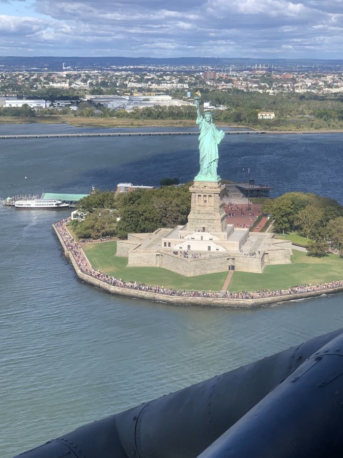
I was out with one of our flight crews logging some hours. What a great day. We circled her at about 550 feet. I am sure our Blackhawk is in someone’s photo that feels just as cool as I do getting these kind of pictures.
Awesome stuff. Had the privilege to do training in Blackhawks and Ospreys. Although is was over sand haha never anything as cool as the Statue of Liberty.
I was out with one of our flight crews logging some hours. What a great day. We circled her at about 550 feet. I am sure our Blackhawk is in someone’s photo that feels just as cool as I do getting these kind of pictures.
Forgot to hit “go”
WAY COOL!

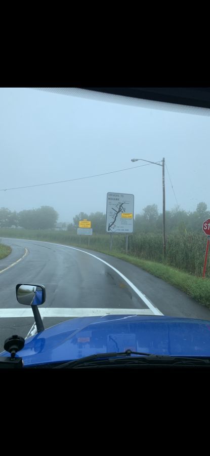
Make sure you read those signs! Near Herkimer, NY
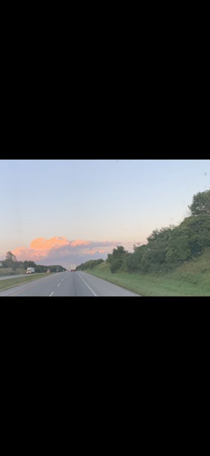
Sunrise, I95 between Kittery and Lewiston ME
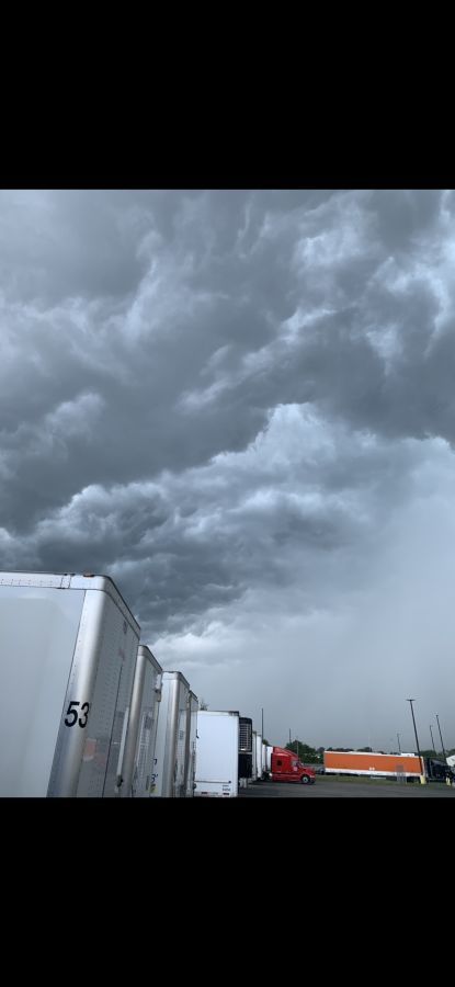
Easily, Neenah, WI, moments before I hit the road to get caught in a downpour so bad I could barely see, coupled with winds I thought were going to blow me off the road.
HOS:
Hours Of Service
HOS refers to the logbook hours of service regulations.
Make sure you read those signs! Near Herkimer, NY
Sunrise, I95 between Kittery and Lewiston ME
Easily, Neenah, WI, moments before I hit the road to get caught in a downpour so bad I could barely see, coupled with winds I thought were going to blow me off the road.
m
That should be Essity, not Easily
HOS:
Hours Of Service
HOS refers to the logbook hours of service regulations.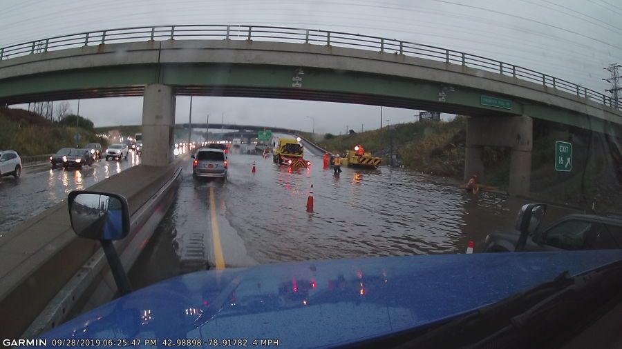
I190 & I290, just south of Grand Island, NY
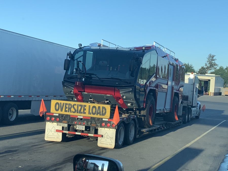
Waterloo NY. Crash crew truck for Air Force. A lot fancier than in the 70’s. LOL
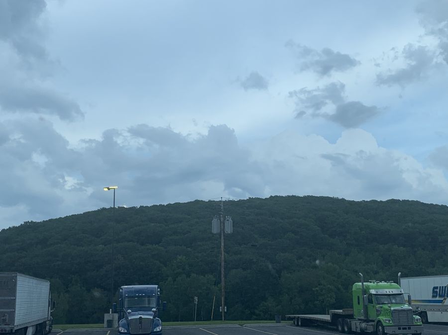
Canaan NY. Clouds over the Berkshires
The sunrise picture above is mislabeled. That is actually near LaPorte, IN. I had taken a similar one in Maine
New Reply:
New! Check out our help videos for a better understanding of our forum features


Preview:
This topic has the following tags:
Photos Truck Driving Lifestyle Trucking Humor




 TT On Facebook
I upgraded from T Mobile to Verizon a couple weeks ago. Makes a huge difference less dead zones.